Namibia and Victoria Falls in 15 days (14 nights)

A one-way drive north from Windhoek: dunes at Sossusvlei, the coast at Swakopmund, rock art in Damaraland, waterholes in Etosha, then the Zambezi region and Victoria Falls. Stops run two to three nights so the long drives sit between rests rather than back to back.
The route, stop by stop
1. Windhoek, Namibia · 1 night
A night to start the drive fresh
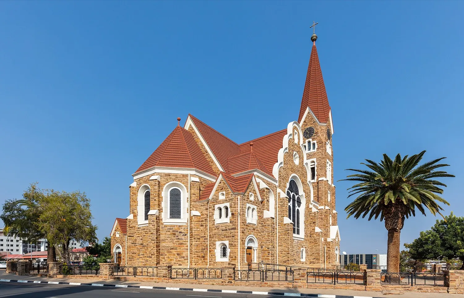
Windhoek is Namibia's capital and largest city, sitting on the Khomas Highland plateau near the geographical centre of the country at around 1,700 m above sea level, with 486,186 residents at the 2023 census. Most trips start or finish here, since Hosea Kutako International Airport is 45 km to the east and the B2 runs west towards the coast. A day covers the Alte Feste, Christ Church and the Independence Memorial Museum. The CDC records no malaria transmission in the capital.

2. Sossusvlei, Namibia · 2 nights
Dune country and the Sesriem canyon
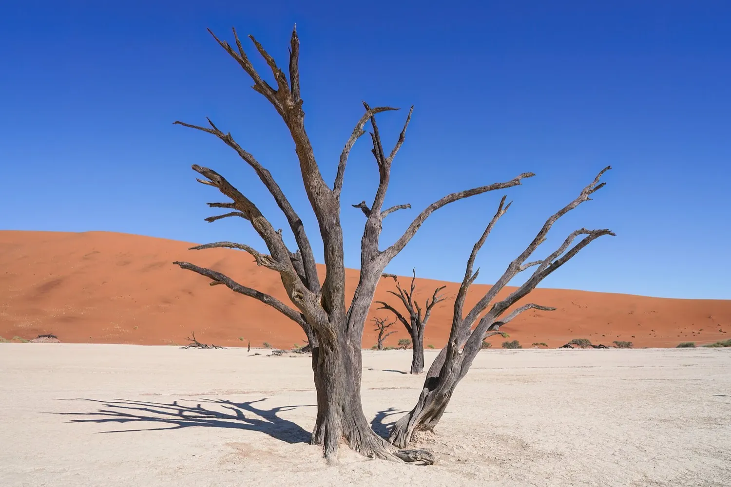
Sossusvlei is a clay and salt pan inside the Namib-Naukluft National Park, ringed by orange dunes that are among the tallest anywhere; Big Daddy stands about 325 m. From the Sesriem gate a tarred road runs 60 km into the dunes, and the last 6 km to the pan is loose sand, so it needs a 4WD or a stop at the 2x4 parking. Dune 45 lies 45 km in, and Deadvlei, studded with dead camelthorn trees, is about 2 km from Sossusvlei.

3. Swakopmund, Namibia · 2 nights
Cold coast, desert activities, a town break
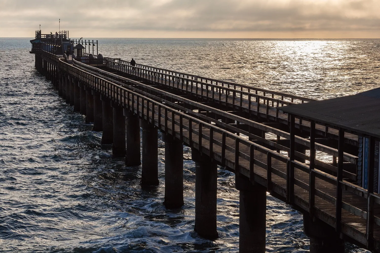
Swakopmund is a coastal town 352 km west of Windhoek on the B2, pinned between the Namib Desert and a cold Atlantic. It was founded in 1892 as the harbour for German South West Africa and still carries the architecture of that period, along with the Swakopmund Museum and the Kristall Galerie. The dunes near Langstrand are where quad biking, camel rides, skydiving and paragliding are run. The Benguela Current keeps temperatures around 15 to 25 °C, brings frequent fog, and leaves under 20 mm of rain a year.

4. Damaraland, Namibia · 2 nights
Rock art and desert-adapted wildlife
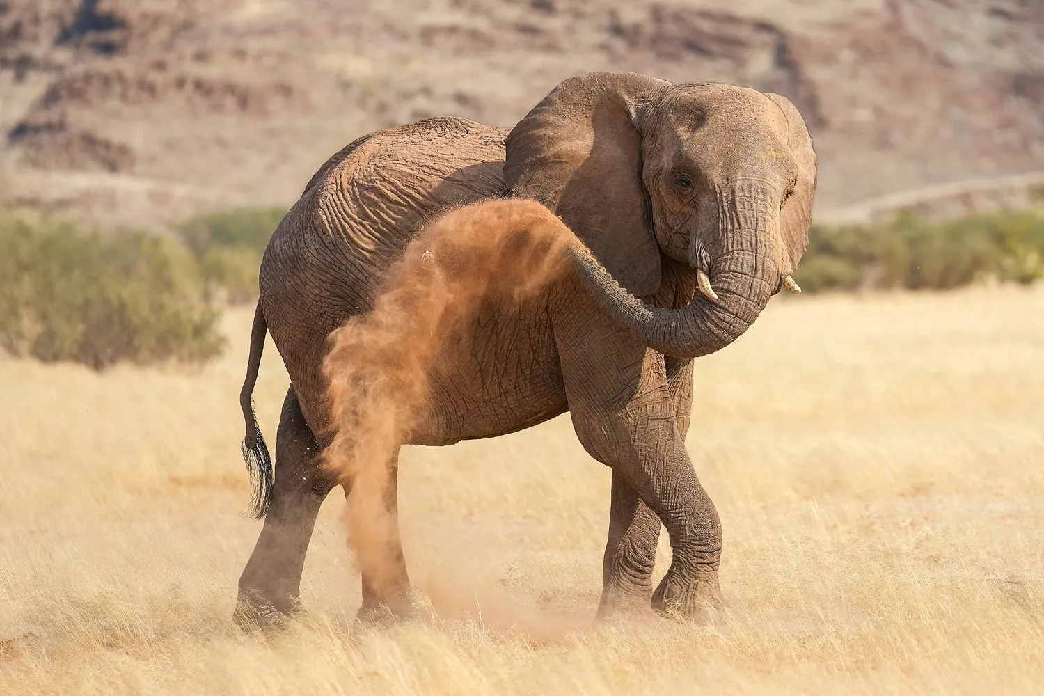
Damaraland is an older regional name for the dry country inland of the Namib Desert, in what is now the Kunene Region. Communal conservancies share it with desert-adapted elephants and free-roaming black rhino, monitored by Save the Rhino Trust since 1982. The anchor for most visits is Twyfelfontein, or ǀUi-ǁAis, where at least 2,500 rock engravings became Namibia's first UNESCO World Heritage Site in 2007. Viewing is guided now that unsupervised walking is barred, and the site lies 20 km south of the C39 between Sesfontein and Khorixas.

5. Etosha, Namibia · 3 nights
Waterhole game viewing, the trip core
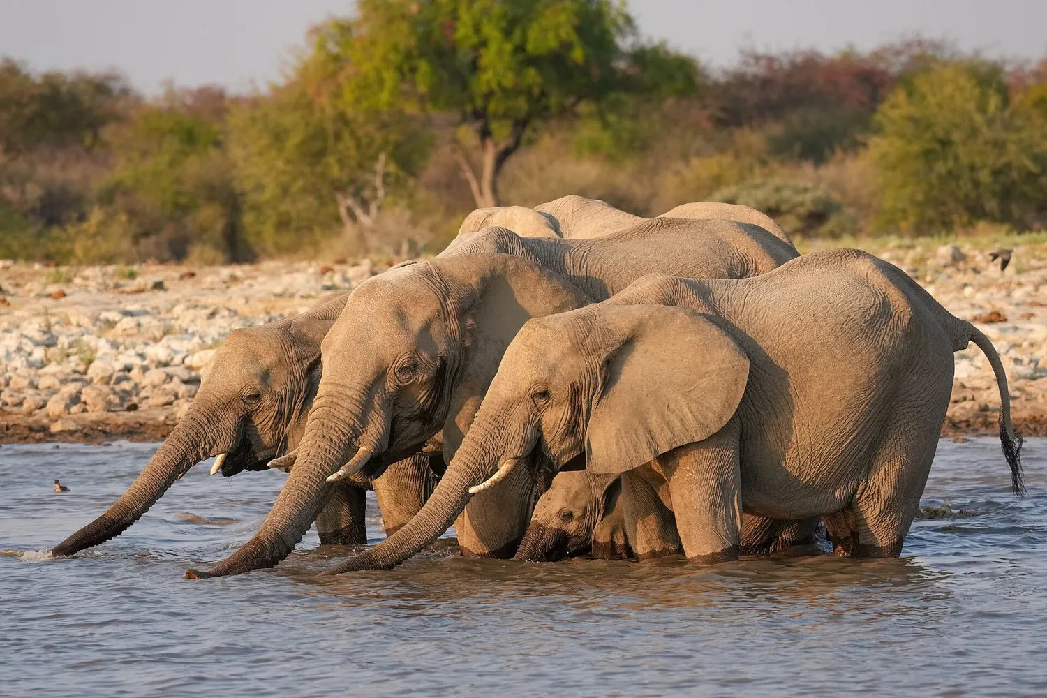
Etosha National Park covers 22,270 km² of northern Namibia around the Etosha pan, a 4,760 km² salt flat that is dry most of the year and briefly holds water in summer, when flamingos and pelicans turn up. Game viewing revolves around waterholes: Okaukuejo, 17 km inside the southern entrance, has a floodlit one where lions, elephants and black rhino are regular. The park counts about 114 mammal species and is the single most important refuge for black rhino. Kunene, Etosha included, carries malaria risk year-round.

6. Zambezi Region, Namibia · 2 nights
River country before the falls
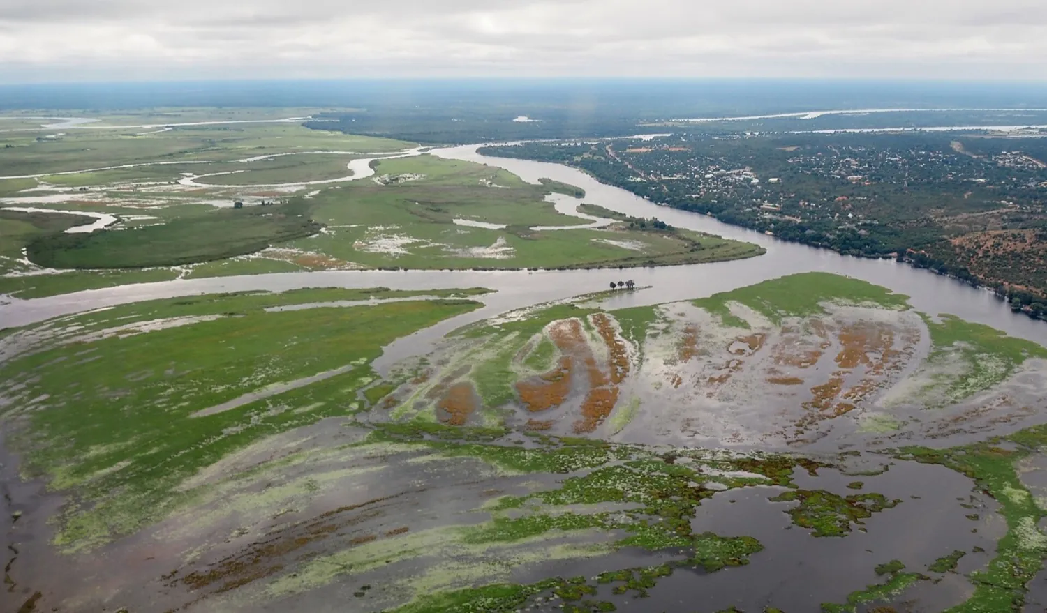
The Zambezi Region, known as Caprivi until 2013, is the tropical strip across Namibia's far north-east, with Katima Mulilo on the Zambezi as its capital and 142,373 residents. Water shapes it: the Zambezi, Kwando, Linyanti and Chobe rivers, plus floodplains, swamps and woodland. Bwabwata, Mudumu and Nkasa Rupara national parks protect the game, and close to 70 percent of the bird species on Namibia's list turn up here. It is the wettest part of the country, with rain from December to March, and malaria risk along the Zambezi is year-round.

7. Victoria Falls, Zimbabwe · 2 nights
The falls, and fly home from here
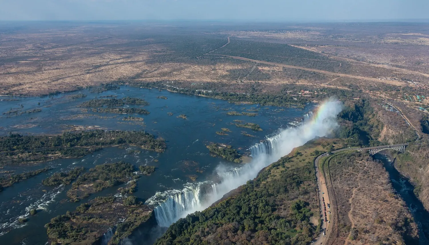
Victoria Falls is the Zimbabwean town at the western end of the waterfall, on the southern bank of the Zambezi, with 35,199 residents at the 2022 census and city status since 2020. The falls are 1,708 m across and 108 m high; flow peaks in April and bottoms out in November, when up to half the rock face can go dry. Rafting, bungee jumping and helicopter flights run from town, which is hemmed in by three national parks. The airport is 18 km south, and antimalarials are advised for Zimbabwe.
Experts who can arrange this trip
- The Safari Vibe, who works in Botswana, Namibia.